Friday, March 21, 2008

Clear Day

Mount Baker (elevation 10,778 feet) is a glaciated andesiticstratovolcano in the Cascade Volcanic Arc and the Cascades ofWashington State in the United States about 30 miles due east of the city of (I want to live here) BellinghamWhatcom County. It is also easily visible from much of Greater VictoriaGreater Vancouver and the Fraser Valley just across the Canadian border to the north, and especially from the communities of Mission and Abbotsford, both about 28 mi east ofVancouver, BC—as well as from some locations in Everett and even Seattle to the southwest. Local Native Americans call the mountain "Koma Kulshan," but the explorer George Vancouver named the mountain for 3rd Lieutenant Joseph Baker of the HMS Discovery, who saw it on April 30,1792. Spanish explorers were the first Europeans to see Mount Baker. The first record comes from the 1790 expedition of Manuel Quimper andGonzalo López de Haro. They gave it the name La gran montana del Carmelo.

After Mount Rainier, Baker is the most heavily glaciated of the Cascade volcanoes: the volume of snow and ice on Mount Baker (0.43 cubic miles) is greater than that of all the other Cascades volcanoes (except Rainier) combined. It is also one of the snowiest places in the world: in 1999, Mount Baker Ski Area, located on a subsidiary peak, set the world record for snowfall in a single season. (1,140 inches/95 feet)


Mt. Baker was one of my favorite parts of the trip. Snowboarding there was absolutely incredible!! There was over a 200" of snow at the resort and the time we were they we received over 2 feet of snowfall in less than 6 hours! The unique thing about snowboarding here is that you are actually snowboarding over the tops of trees and huge bolder' beneath the snow. You have to be careful though because one false step in deep snow could send you sinking into the depths!!

Beautiful Scenery Everywhere

Many residents of the Island can be seen walking along the beaches at anytime of the day!

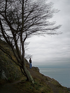
My brother Nathan in deep thought!!


The Cascades on the south side of Seatle! 

The Olympic Mountains


The sun setting just behind the Olympic Mountain Range on the north end of WA!


The Olympic Mountains are a mountain range on the Olympic Peninsula of western Washington in the United States. The mountains are not especially high -Mount Olympus is the highest at 7,962 ft but the western slopes of the Olympics face the Pacific Ocean and are thus the wettest place in the 48 contiguous states; the Hoh Ranger Station in the Hoh Rain Forest records an average of 142 in of rainfall each year. Most of the mountains are protected within the bounds of the Olympic National Park. Physiographically, they are a section of the larger Pacific Border province, which in turn are part of the larger Pacific Mountain System physiographic division.


Whidbey Island


This is a picture of Mt. Baker from Deception Pass. The mountain can only be seen on a clear day and which you may know is few and far between in WA.


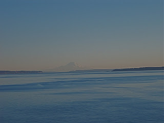
In the haze you can see Mt. Rainier sticking up! Mount Rainier is an active stratovolcano (also known as a composite volcano) in Pierce County, Washington, located 54 miles southeast of SeattleWashington, in the United States. It is the highest peak in the Cascade Range and Cascade Volcanic Arc at 14,410 feet. The mountain and the surrounding area are protected within Mount Rainier National Park. With 26 major glaciers, Mount Rainier is the most heavily glaciated peak in the lower 48 states with 35 square miles of permanent snowfields and glaciers. The summit is topped by two volcanic craters, each over 1,000 feet in diameter with the larger east crater overlapping the west crater. Geothermal heat from thevolcano keeps areas of both crater rims free of snow and ice, and has formed an extensive network of glacier caves within the ice-filled craters. A small crater lake, the highest in North America, occupies the lowest portion of the west crater below more than 160 feet of ice and is accessible only via the caves.

Winter Vacation in Washington

Home of my brother Nathan on beautiful Whidbey Island!

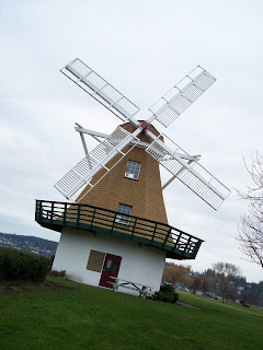
Whidbey Island was settled by the dutch and most of the cities are still primarily run by Dutch families! So across the Island there are several Windmills and many homes and businesses are of Dutch architecture!


Some Indian fish goddess!!