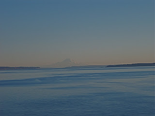
This is Deception Pass on the north end of the Island. The water here is beautiful because most of it is glacier water which also makes it very cold!!!


This is a picture of Mt. Baker from Deception Pass. The mountain can only be seen on a clear day and which you may know is few and far between in WA.


In the haze you can see Mt. Rainier sticking up! Mount Rainier is an active stratovolcano (also known as a composite volcano) in Pierce County, Washington, located 54 miles southeast of Seattle, Washington, in the United States. It is the highest peak in the Cascade Range and Cascade Volcanic Arc at 14,410 feet. The mountain and the surrounding area are protected within Mount Rainier National Park. With 26 major glaciers, Mount Rainier is the most heavily glaciated peak in the lower 48 states with 35 square miles of permanent snowfields and glaciers. The summit is topped by two volcanic craters, each over 1,000 feet in diameter with the larger east crater overlapping the west crater. Geothermal heat from thevolcano keeps areas of both crater rims free of snow and ice, and has formed an extensive network of glacier caves within the ice-filled craters. A small crater lake, the highest in North America, occupies the lowest portion of the west crater below more than 160 feet of ice and is accessible only via the caves.


1 comment:
Hello: I happened upon your blog and thought you'd like to know that Deception Pass is on the north end of Whidbey Island, not the south. South Whidbey's connection to the mainland is a ferry at Clinton on Whidbey over to Mukilteo.
Post a Comment